

This is an archived article that was published on sltrib.com in 2014, and information in the article may be outdated. It is provided only for personal research purposes and may not be reprinted.
With geologic hazards along State Road 9 clearly mapped in a new report and a population expanding sixfold in the corridor by 2035, community leaders face tough decisions about development in their scenic, but often dangerous, landscape.
The same natural forces that make this slice of Washington County so beautiful also endanger residents with tumbling rocks and rushing water.
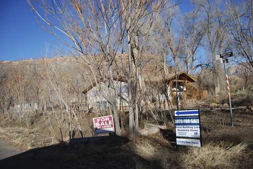
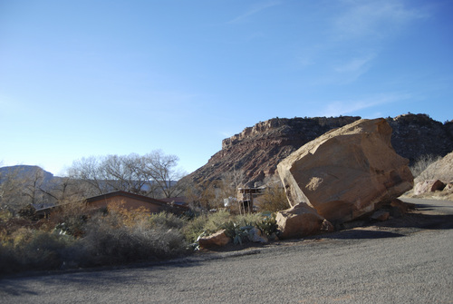
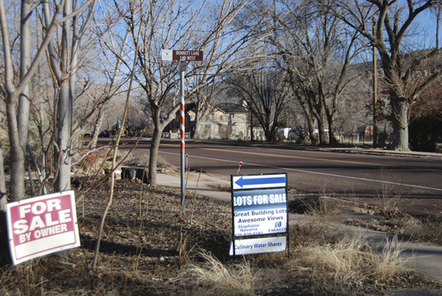
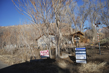
A 2,700-ton boulder crashed down, killing two people, in Rockville in December. The town, along with La Verkin, Virgin and Springdale asked the Utah Geological Survey to identify other risky areas.
"We recognized there are some inherent geological hazards from living in the Zion Canyon corridor," said Tom Dansie, director of community development in Springdale, which borders Zion National Park. "We want to be better prepared to direct new growth and development in a way that those hazards can be minimized."
The report includes nine maps illustrating areas in Washington County where flooding and debris flows, rock fall, landslides, vulnerable soils and rocks, erosion and wind-blown sand could have an impact.
"We hope local officials will use the report as a planning tool to guide future development and that the hazardous areas can be avoided," said Tyler Knudsen, a project geologist with the Utah Geological Survey in Cedar City.
In some cases, mitigation techniques can deflect or stop falling rocks, he said, but in others, houses should not be built at all.
As for the deadly 2,700-ton boulder, "no form of mitigation would have stopped a rock that size or even half that size," said Knudsen, who wrote the report with colleague William Lund.
"In many cases it would have been better if houses were not built at all," he said. "It would be nice if some homes were retired or relocated from some of the highest hazard areas, but that can be a tough thing to do."
He added, "You will always have a part of the population that will accept that risk and continue to live in the homes. They need to understand the serious risk and sometimes fatal consequences."
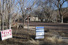
Elected officials will debate solutions from possibly requiring mitigation and to limiting new development, Dansie predicts. "For sale" signs on lots and homes dot the area near the destroyed Rockville home.
In addition to threatening homes and businesses, geologic issues on State Route 9 are a concern because of the more than 2.5 million annual visitors who use the road to reach Zion National Park.
The four communities along the State Route 9 corridor have seen significant development in recent years and more is expected.
According to the report, the U.S. census showed a population of 4,480 between the four cities in 2000 with projected growth to 27,890 in 2035.
Dansie said a "build out" scenario in Springdale shows a potential for the current population of 550 residents to triple.
"We have that potential for that growth," he said. "But whether or not we go there remains to be seen."
Springdale already has the Utah Geological Survey report on its website and is working on ordinances regarding geologic hazards.
"Some of the hazards are fairly obvious like rockfall," Dansie said. "Others are not so obvious, like collapsible soils. We want to help people in our community understand all the risks."
Twitter: @BrettPrettyman —
See the maps
The report from the Utah Geological Survey includes nine maps. Development planners also can buy a DVD that lets them create specialized reports for specific locations. The maps can be accessed here.