


This is an archived article that was published on sltrib.com in 2012, and information in the article may be outdated. It is provided only for personal research purposes and may not be reprinted.
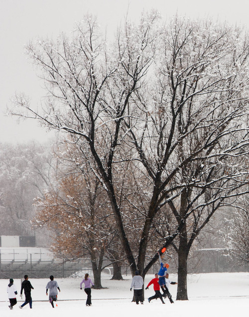
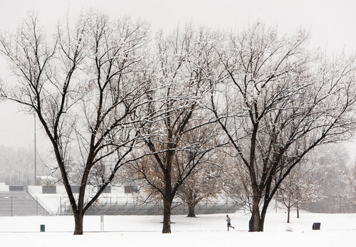
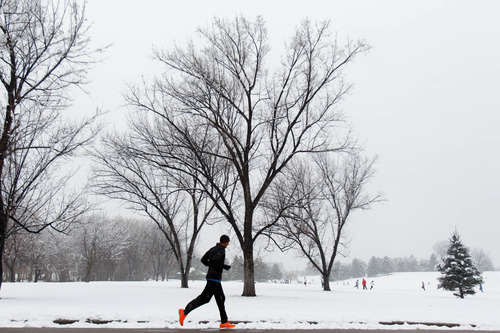
A generous helping of snow along the Wasatch front that started falling Saturday could continue, although sporadically, well into the weekend.
A winter weather advisory was issued by the National Weather Service for Saturday morning.
A winter storm watch remains in effect until late afternoon, when the snow will likely taper off into showers. Most of the snowfall will be concentrated on the Wasatch Mountains south of I-80, the weather service forecasts.
There is another winter storm watch for Sunday and Monday, which could dump an additional 2 feet of snow during that period.
The Utah Avalanche Center predicted risks for dangerous snowslides would be "considerable" on Sunday for the mountains near Logan, Salt Lake City, Ogden, Provo and Moab.
The Utah Division of Air Quality was predicting "green," or healthy air-quality banners statewide throughout the weekend and into Monday.
For Sunday, the forecast high in Salt Lake is 39 degrees with a low of 29. Ogden's high will be 37 with a low of 28. Provo, 39 and 27; Logan, 35 and 24; Wendover, 41 and 26; Duchesne, 37 and 20; Cedar City, 39 and 18; St. George, 48 and 29; and Moab, 42 and 24 degrees.
Twitter: @KimballBennion