


This is an archived article that was published on sltrib.com in 2012, and information in the article may be outdated. It is provided only for personal research purposes and may not be reprinted.
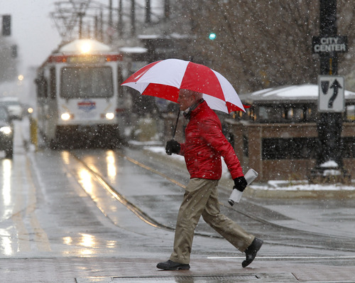
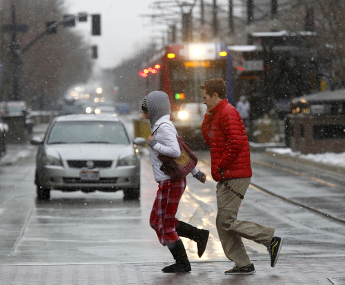
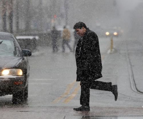
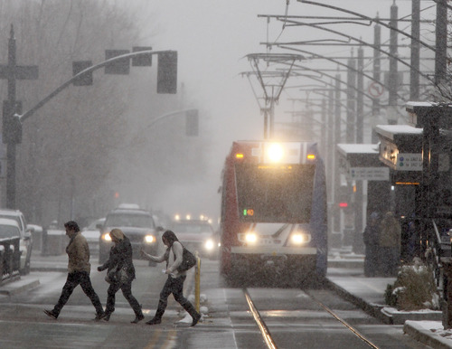
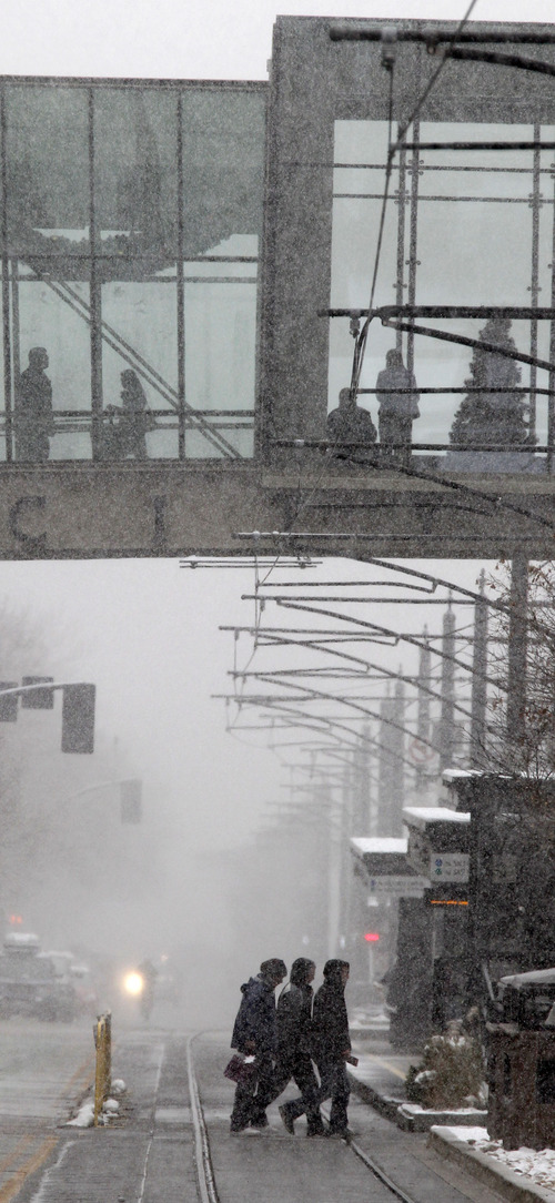
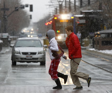
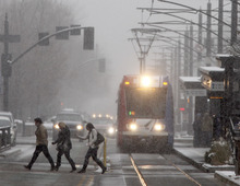
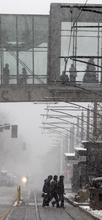
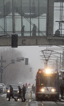
Steady but mostly light snowfall was forecast for northern Utah on Tuesday, continuing a mild wintry trend that began this past weekend.
The National Weather Service expected just an inch or two of the white stuff, with the exception of the highest mountain elevations where heavier snowfall was possible. High temperatures were forecast to range into the low to mid-30s, with overnight lows well below freezing.
Icy road surfaces were believed to have been factors in more than half a dozen crashes along the Interstate 15 corridor between Salt Lake and Utah counties Monday morning. One of the crashes, on I-15 near American Fork, involved a semi-trailer rig and a pickup truck; one man was seriously injured.
Southern Utahns expected nary a snowflake, but temperatures were to take a definite turn downward with highs on Tuesday in the low to mid-50s and overnight readings in the low 30s.
The Utah Avalanche Center rated the mountains of Logan, Salt Lake and Davis counties, along with the Uintas, at "moderate" risk for dangerous snowslides. The risk grade for the rest of the state's mountains was deemed "low."
Salt Lake City's high on Tuesday was to be 39, up from Monday's forecast for 33 degrees; Ogden looked for 38 and 33 degrees, respectively; Wendover 39 and 37; Duchesne 35 and 33; Cedar City 46 and 42; St. George 57 and 53; and Moab 39 and 37 degrees.